Land Use and Land Cover Maps Documentation
Impact Observatory brings revolutionary artificial intelligence (AI) powered geospatial monitoring solutions to sustainability, environmental, and climate risk analysis for governments, companies, and markets.
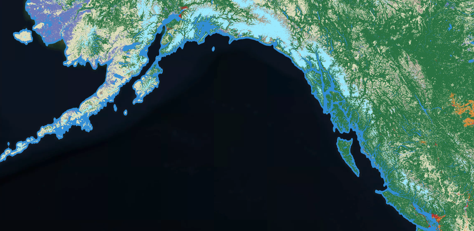
IO Monitor provides sub-annual land use and land cover (LULC) maps over an area of interest for custom 90-day date ranges. Currently, IO Monitor is in its Early Access version, and maps are only available for the United States. Look out for updates that will enhance IO Monitor’s geographic and temporal capabilities.
Our Maps
- Land Use Land Cover Maps
- Sub-Annual Maps from IO Monitor
- Difference Maps from IO Monitor
- What is a Difference Map showing?
- Difference Map Use Cases
- What is the Date Range for a Difference Map?
- Why is a Difference Map included in my IO Monitor order?
- How is a Difference Map produced?
- What do the values in a Difference Map represent?
- Known Limitations
- Difference Map Technical Specifications
- Feedback
About Impact Observatory
Impact Observatory’s automated, near-real-time change monitoring of space imagery and remote-sensing data empowers global decision-makers with the timely, actionable, data-driven insights they need to succeed. Impact Observatory was founded in 2020 in Washington, DC. Founding CEO Steve Brumby is a serial entrepreneur with a PhD in theoretical particle physics and a career spanning US National Science Labs, venture-backed startups (founder/CTO Descartes Labs), and leading environmental NGOs (National Geographic).
We would appreciate your feedback about what we can do to improve our offerings for your needs.